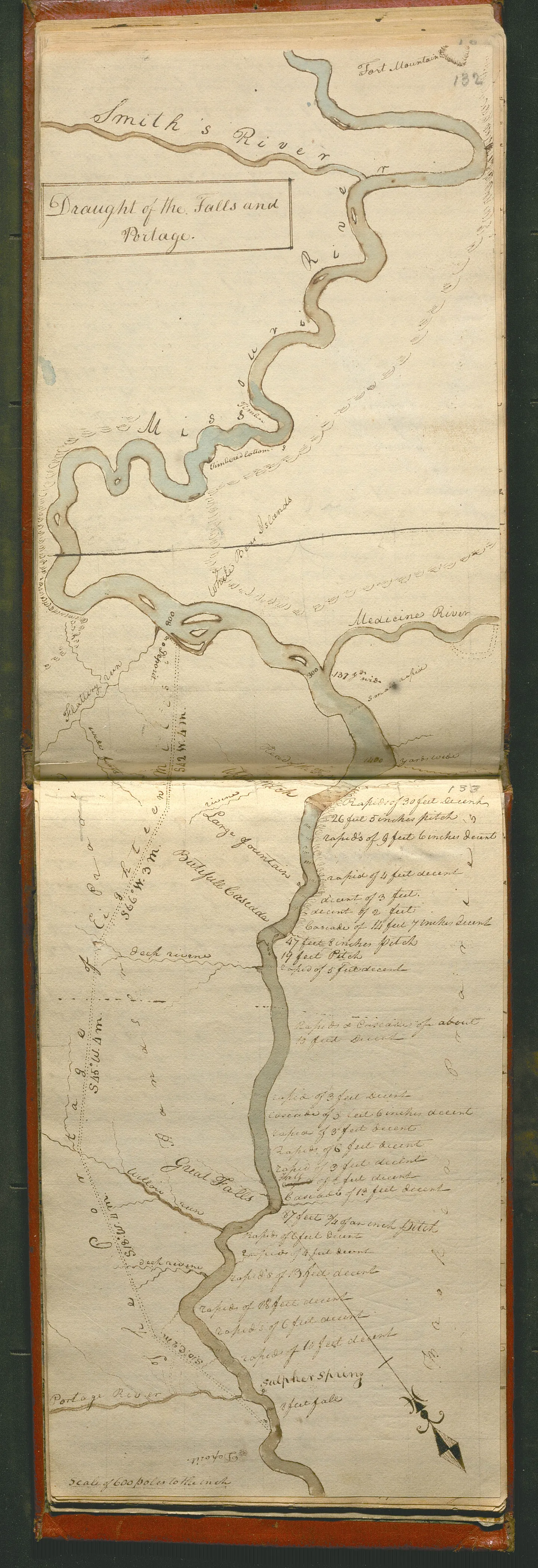
Lewis and Clark Journals, Great Falls of the Missouri River
An 1805 map from the Lewis and Clark expedition showing the geography of the Great Falls Portage of the Missouri River
Historical Period
Expansion, Slavery, and Calls to Reformcontributing partner

About
This map of the northern portion of the Missouri River was hand-drawn in 1805 by an explorer of the western lands of North America. Following the U.S. acquisition of the Louisiana Territory, President Thomas Jefferson wanted to find out about the landforms, waterways, plants, and animals. He also wanted to know what resources were available west of the Mississippi that could be exploited for economic gains through trading, mining, logging, and other means. Finding out about the Indigenous people who lived in the area was crucial too. Since this was also a military expedition, Jefferson wanted an assessment of the military threat posed by Indigenous communities to westward expansion. In 1803, Jefferson commissioned Meriwether Lewis and William Clark to form an expedition to do just this. Starting from St. Louis, Missouri, and ending at the Pacific Ocean uncovered much information, which they recorded in journals that contained notes, illustrations, and detailed maps. The route shown on this map, known as the Great Falls Portage, was dangerous. It took the Corps of Discovery 31 days to travel just 18 miles.
Start Prepping for Class
Customize this page for your students' needs or grab ready-to-go assets and take it all to class
Lewis and Clark Journals, Great Falls of the Missouri River
Viewing:
Analysis Questions
Foster inquiry and understanding with these source-specific questions, designed to be accessible even for those with limited background knowledge.
say hello to the source
-
1
Without closely examining this map from 1805, what do you notice about it?
-
2
Look at the title of the map. “Draught” is a British word meaning the depth of water needed for a boat to float. “Portage” refers to the carrying of boats and their cargo over land between two bodies of water. Based on this and a glance at the map itself, what do you think the map shows?
make observations
-
3
What can you tell about the Missouri River from this map?
-
4
A tributary is a river or stream that flows into a larger body of water. What tributaries of the Missouri River have the mapmaker shown on the map?
-
5
Which physical feature does the mapmaker identify near the Portage River?
-
6
Rapids are a fast-moving part of a river or stream. How does the mapmaker represent rapids on the map?
interpret what you see
-
7
In 1803, the United States acquired the land known as the Louisiana Territory. The U.S. government then selected Meriwether Lewis and William Clark to lead the Corps of Discovery to gather information about the Louisiana Territory. Why would the information on this map be helpful for the U.S. government? What makes you say that?
-
8
The Corps of Discovery took 31 days to travel the 18 miles shown on the map. Why might their journey have taken so long? What details on the map support your response?
-
9
The mapmaker did not show the terrain the expedition traveled over to avoid the rapids. Based on what you see on the map, what do you think the terrain was like?
use it as evidence
-
10
Who do you think created the names of the natural features on the map? Why do you think this? What do you think was their inspiration for the names?
-
11
How might historians use a map like this today? Why would it be considered a valuable tool?
-
12
What are some of the limitations of this source?
Vocabulary
Use these related vocabulary terms to build students’ understanding and support more meaningful discussions and learning outcomes in your classroom.
start customizing
A new way to prep for class
Every source on history.org can now be customized by you! Adjust text, change the layout, add questions, remove others, and style it for every learner in your room — then share or export in one click.
Teach It Your Way
Add context, remove complexity, and adjust the text to match the way you teach.
Style for Your Classroom
Adjust text size, spacing, and structure so the content fits your students' needs.
Spark & Guide Discussions
Scaffold discussion and support for every learner with the language they need to engage.
Build with Vetted Content
Easily pull in additional sources, videos, and context directly from the history.org library.
Citation & Details
Citations
- Creator: Meriwether Lewis
- Date Created: April 3, 1806
- Materials and Measurements: paper and ink
- Point of Origin: Columbia River, Washington
- Object Identifier #: Lewis and Clarck Journal Codex K
American Philosophical Society. (2001). Lewis and Clark Journals. https://as.amphilsoc.org/repositories/2/resources/696
Britannica Editors (2004, April 29). Rod. In Britannica.com. Encyclopedia Britannica. https://www.britannica.com/science/rod-measurement
Buckley, J. H. (2026, March 20). Lewis and Clark Expedition. In Britannica.com. Encyclopedia Britannica. https://www.britannica.com/event/Lewis-and-Clark-Expedition
Library of Congress. (n.d.). Jefferson's Secret Message Regarding the Lewis & Clark Expedition: Primary Documents in American History. https://guides.loc.gov/jefferson-secret-message/external-websites
National Park Service. (2021, December 30). Great Falls Portage. https://www.nps.gov/places/great-falls-portage-mt.htm
U.S. Department of State: Office of the Historian. (n.d.). Louisiana Purchase, 1803. https://history.state.gov/milestones/1801-1829/louisiana-purchase
Related Educational Videos(1)
Found in This Collection, 1 items
There’s even more for Beta Users
Get Access to Everything
More Primary Sources In:
Expansion, Slavery, and Calls to Reform
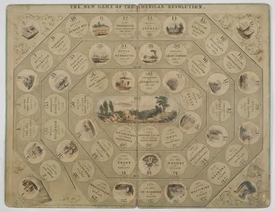
The New Game of the American Revolution
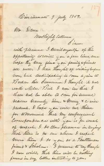
Anthony Burns Letter about the 4th of July
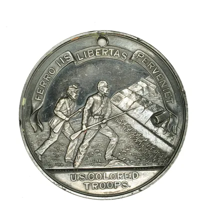
Colored Troops Before Richmond medal
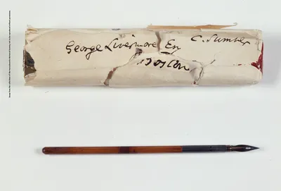
Pen used by Abraham Lincoln to sign the Emancipation Proclamation
Picture Alphabet Book, c.1861-1870
Storage Jar

No Slavery! Fourth of July! The Managers of the Mass. Anti-Slavery Soc'y ...
A Gum, or Hollowed-Out Tree