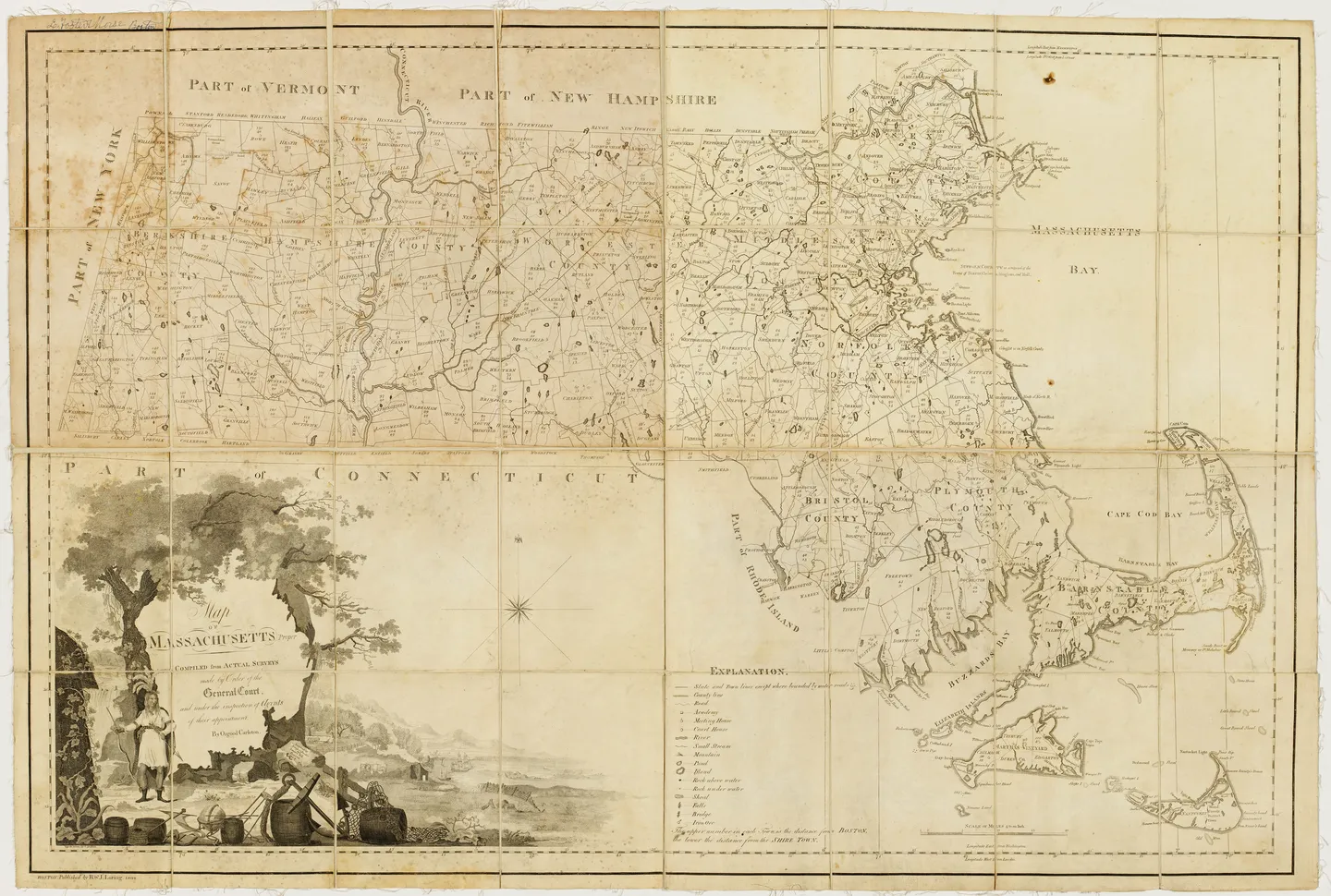
This map is the second edition of the first official map of Massachusetts originally published in 1801. After Osgood Carleton completed his map, the Massachusetts state committee examined the engraved plates and judged them to be unsatisfactory. Working from this design, the map was re-engraved by Samuel Hill and Joseph Callender in 1802. The first edition was for the use of states and towns, while this second edition was used for court officials, legislators, and schools. The map shows borders with Vermont, New Hampshire, Connecticut, and New York as well as a lengthy legend that includes symbols for manmade and natural features.
Creator:
Osgood Carleton; engraved by Joseph Callender and Samuel Hill
Date Created:
1802
Materials and Measurements:
79 cm x 116 cm
Point of Origin:
Boston, MA
Object Identifier #:
Maps I.a.3.22 Lg